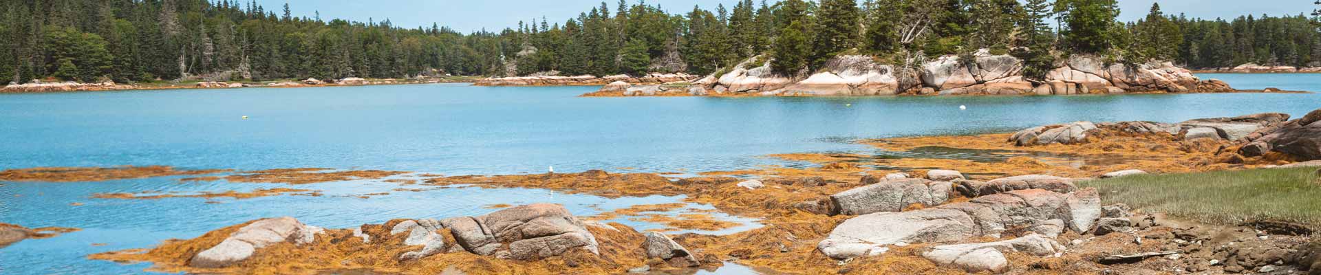

Hiking in or near Jonesport, Maine
Seaduck Point Preserve & Other MCHT Preserves
Across the Beals Island bridge from Jonesport on Beals Island is the Maine Coast Heritage Trust Seaduck Point Preserve, a 168-acre forested preserve with a secluded beach bounded by granite shores. The preserve encompasses one-third of Beals Island.
Maine Coast Heritage Trust (MCHT) helps protect Maine’s coastal lands and waters so nature can thrive and communities can flourish. MCHT has helped conserve over 180,000 acres and 337 islands—along with 160+ places open to the public offering more than 100 miles of hiking trails.
MCHT collaborates with individuals, businesses, organizations, and local communities to conserve islands, wildlife habitat, coastal watersheds, public water-access sites, downtown green spaces, and other memorable places to get outside. Its priorities include addressing climate change impacts on the coast, protecting vulnerable plants and animals, expanding access, and supporting Maine’s coastal communities and an 80+ land trust network.
View website for Seaduck Point Preserve & Other MCHT Preserves (opens in a new window)
Great Wass Island Preserve
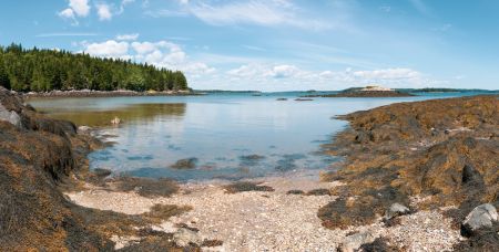
Great Wass Island Preserve, protected by The Nature Conservancy since 1978, is one of Downeast Maine’s standout coastal landscapes.
Hiking trail
A 4.5-mile trail loops through a mix of distinctive forests and wetlands, offering a close-up look at the island’s varied habitats. View a trail map for
- Little Cape Point Trail (2.2 miles)
This route winds through mossy spruce and fir woods, with open jack pine ledges and views over a coastal raised bog. A boardwalk crosses a sedge-shrub marsh before the trail reaches Cape Cove and the shoreline. From there, it’s a short walk northeast to Little Cape Point (about a 3-hour round trip). - Mud Hole Trail (1.2 miles)
A left fork about 100 feet east of the parking lot heads to the Mud Hole, a long, narrow tidal cove. The trail continues to Mud Hole Point and connects with the Shoreline Trail. - Shoreline Trail (1.1 miles)
Follow pink granite cliffs along the Gulf of Maine with wide views across Eastern Bay. Near Little Cape Point, the route passes a wave-shaped cobble beach. This coastal trail isn’t blazed, so route-finding is important.
Rocky shoreline and geology
Along the coast, broad granite ledges plunge toward the ocean. These exposed rocks reveal the “Fundian Fault,” a long fracture in the Earth’s crust that stretches from the Bay of Fundy down toward New Hampshire’s coastline.
Ocean meeting point and rare plants
Because the island reaches farther out to sea than any other landmass in eastern Maine, the marine weather has a big influence on what grows here. Where the Gulf of Maine and the Bay of Fundy come together, the air stays cool, moist, and ocean-shaped—conditions that support rare plants and unusual natural communities.
Location: In Jonesport, turn south (at the Coast Guard Station) onto Bridge Street and cross the bridge to Beals; turn left at the end of the bridge onto Bay View Drive. Continue approximately 1.1 miles to the causeway to Great Wass Island. Just beyond the causeway at the T-intersection turn right onto Black Duck Cove Road and continue 2 miles to a parking area on the left to access the trail.
Contact Info: Nature Conservancy in Maine
(207) 729-5181
View website for Great Wass Island Preserve (opens in a new window)
View map for Great Wass Island Preserve (opens in a new window)